Our motto
All objects and events on earth have a geographical reference and can therefore be represented on maps. Storymaps can be used to explain even the most complex relationships in an easily understandable way.
Curious?
You’ll know more in 134 seconds!
Too fast? The teaser is based on animated storymaps whose speed you can determine yourself in the original.
Our aims
Generation and further development of an interactive atlas portal based on cartographic journalism that is freely accessible to all.
Promotion of local history and popular education in the fields of language, history and culture by providing factual information to society free of charge
Accuracy, ease of understanding, independence, party-political and religious neutrality
Our projects
Interactive historical atlas
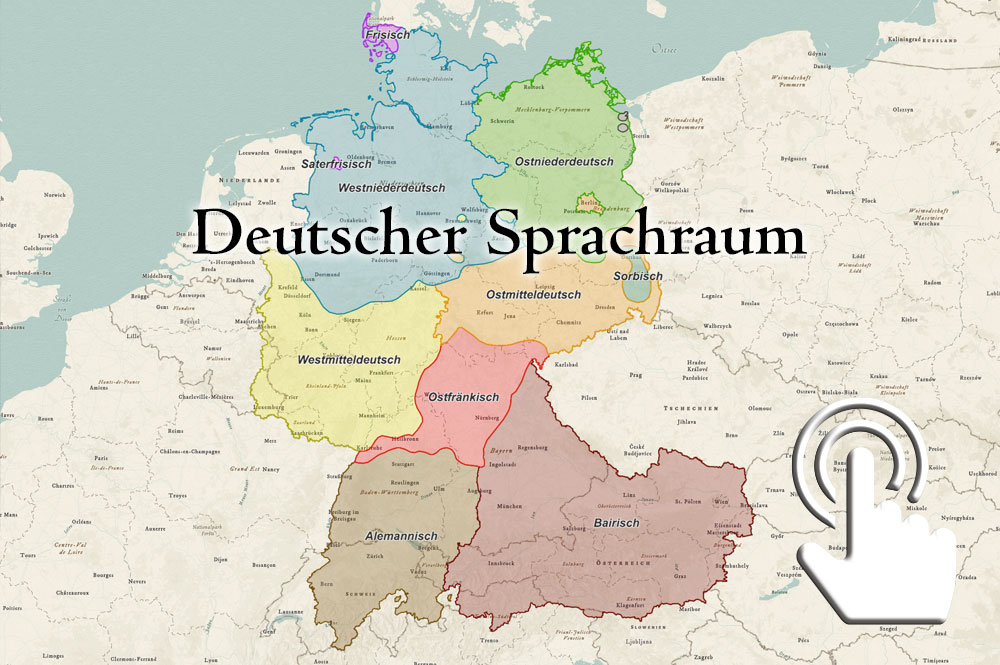
German language area
Spatial identity
Interactive historical atlas
Map guide
The interactive map guide links to all story maps created so far. All map elements (points, lines and areas) can be clicked on. The bookmark button at the top left allows quick access to different geographical regions. The loading time can take up to 15 seconds. If the map pointer is not displayed, please click here.